5 Photos That Prove Lofoten Is A Photographer’s Paradise
Lofoten is an archipelago and a traditional district in the county of Norway. It’s known for a distinctive scenery with dramatic mountains and peaks, open sea and sheltered bays, beaches and untouched lands. Its largest town, Leknes, is approximately 169 km inside the Arctic Circle and approximately 2,420 km away from the North Pole, making Lofoten one of the world’s northernmost populated regions.
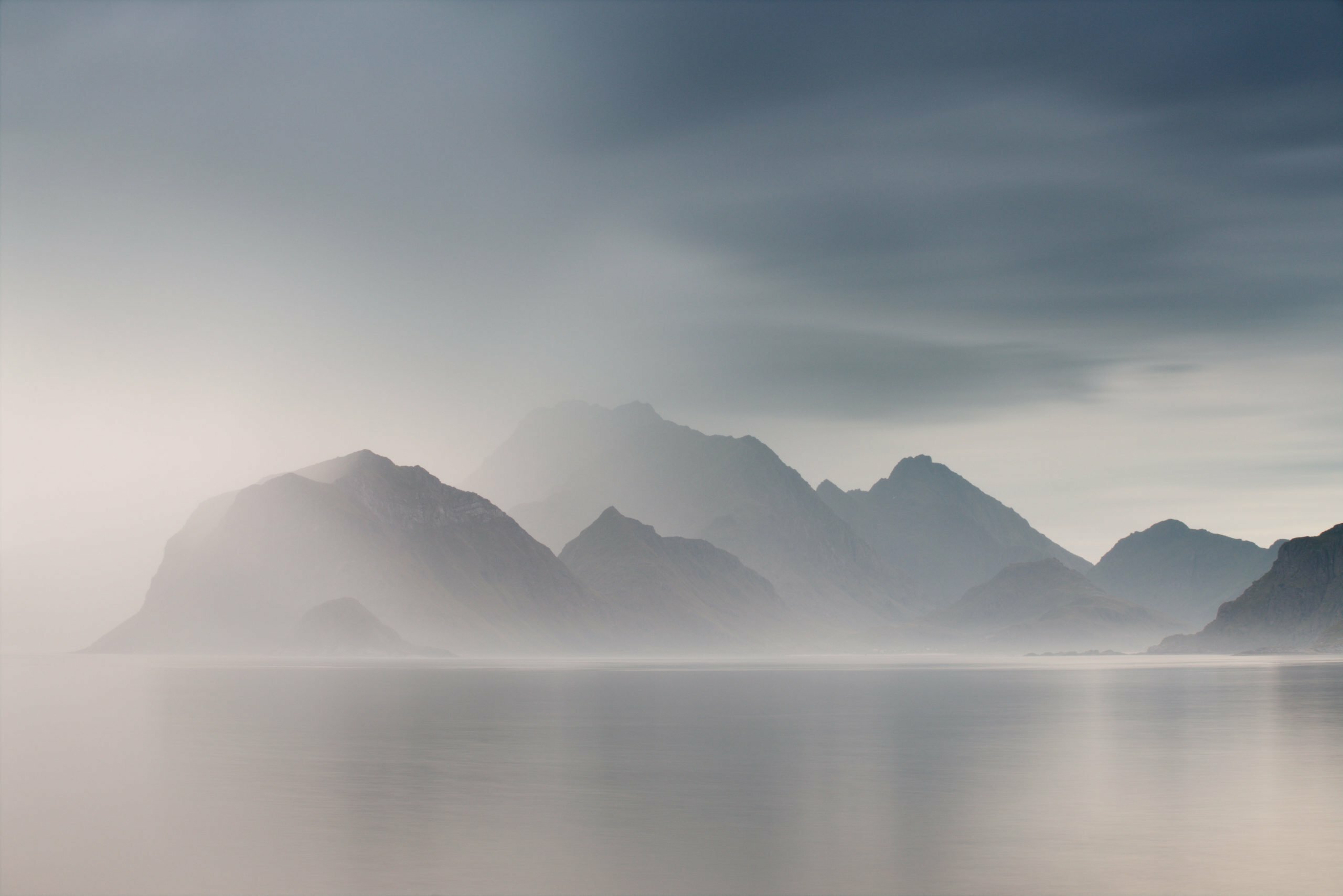
1. The Mountains
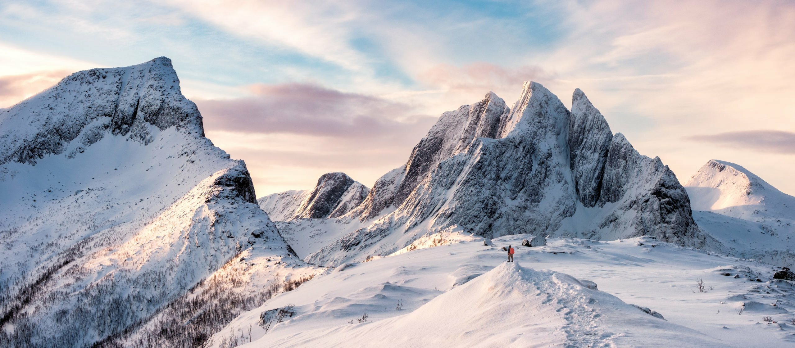
The Lofoten Islands are characterised by their mountains and peaks.
2. Fishermen Cabins (Rorbu)

Rorbu is a Norwegian traditional type of seasonal house used by fishermen, normally located in a fishing village. The buildings are costructed on land, but with the one end on poles in the water, allowing easy access to vessels. The style and term is used along the coast of Western Norway and Northern Norway, and is most common on Lofoten and northwards to eastern Finnmark.
3. Dramatic Weather
Lofoten’s weather can be extremely unpredictable! As a photographer, it’s best to remain flexible and adapt to current weather conditions. This makes for spontaneous and exciting experiences – alway ready for an adventure!
4. Epic Beaches

Northern Norway may not spring instantly to mind for those planning a beach vacation. Yet the golden sands of the remote Lofoten Islands draw photographers, surfers and backpackers from the world over.
5. The Northern Lights

Lofoten is situated just beneath the auroral oval, a belt of light that encircles the geomagnetic poles and provides some of the best chances of seeing the northern lights.